Understanding Maritime Spatial Planning (MSP) and Its Importance
Coastal countries have increasingly recognized the need for strategic planning in the use of their maritime spaces to balance environmental sustainability with economic development. This process, known as Maritime Spatial Planning (MSP), involves the allocation of ocean spaces for various activities such as fishing, shipping, tourism, and renewable energy projects. The goal is to minimize conflicts among these activities while protecting marine ecosystems and promoting sustainable use of marine resources.
The process of MSP typically starts with an assessment of the current uses and conditions of a country’s maritime space. This involves gathering data on marine biodiversity, economic activities, environmental pressures, and existing regulations. Stakeholder engagement is a critical part of this phase, where governments, industry, and local communities collaborate to identify key priorities and concerns. Using this information, a comprehensive plan is developed that designates specific zones for different activities, such as protected areas for conservation, shipping lanes, and zones for offshore energy development.
Innovative AI Solutions for Efficient Maritime Space Management
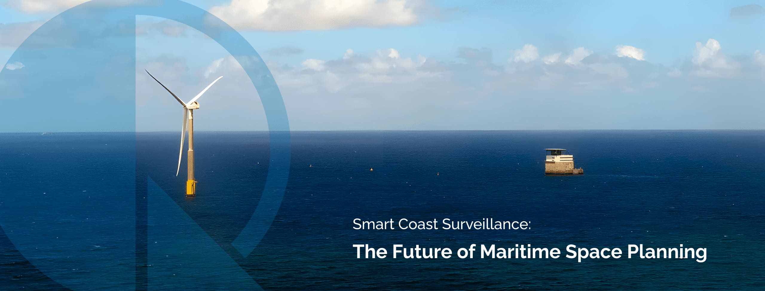
But once this first planning phase is in place, then MSP needs to look to the next step which is its efficient management. It requires ongoing monitoring and surveillance solutions, and this is exactly where QAISC and its new AI solution SMART COAST SURVEILLANCE (SCS) can help you in. By leveraging digital technologies such as advanced sensors and artificial intelligence (AI) methods such as computer vision, deep learning models, edge computing, etc., SCS enhances your knowledge and understanding of the coastal space activities with data and observations, allows you identify new patterns and detect illegal or harmful activities and supports you in the short term accurate forecast of the usage of the natural space and the prediction of long term changes. SCS will give you access to a vast amount a vast amount of relevant data facilitating coastal space management and efficient economic transactions through a straightforward user-friendly applications interface. Countries need to establish, not only legal frameworks and governance structures to enforce their spatial plan, but also make sure that their coastal space management tools respond efficiently to the digital challenge such as QAISC unique tool SCS does.
QUALITAS ARTIFICIAL INTELLIGENCE & SCIENCE


Copyright © 2024. Qualitas Artificial Intelligence & Science . All rights reserved.